Cascades Field Trip: A Volcanic Blast!
Sept 30th: Dr. Helge Gonnermann’s Volcanic, Magmatic, and Hydrothermal Processes class set off dark and early Wednesday morning from Houston to the Cascades of California, Oregon, and Washington. We ventured across this varied volcanic terrain interpreting and learning about local and regional geologic events. The Cascades are an active continental volcanic arc resulting from the subduction of the Farallon plate beneath North America. Our first day consisted mostly of driving from Portland to Mt. Shasta and setting up at our lodging, a sweet house called Falconhurst (I still can’t get over the Bronte-ness of that name).
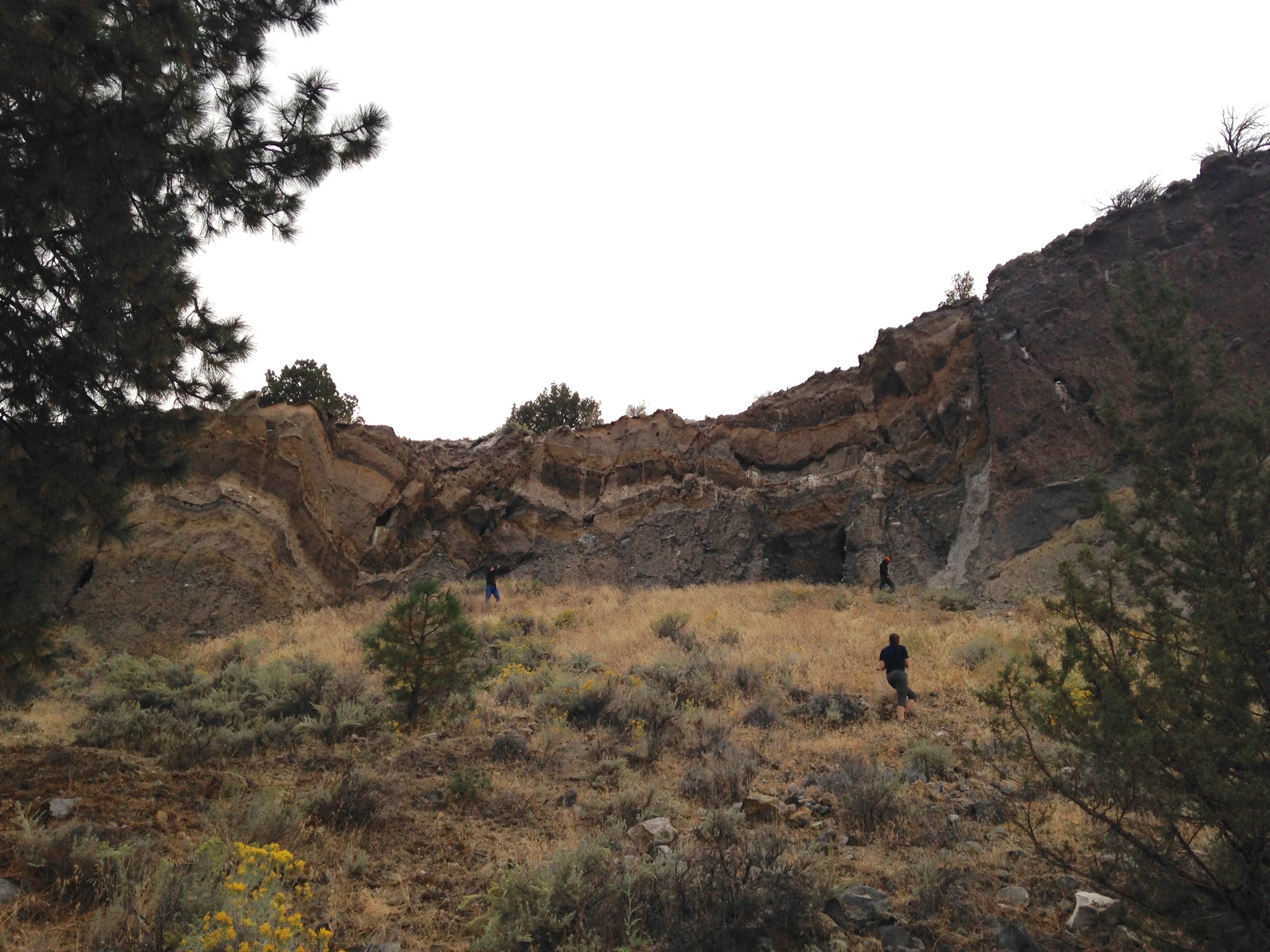
Oct 1st: Thursday, we drove through Mt. Shasta’s expansive debris flow deposits; these volcanic remains used to be mapped as glacial due to their poor sorting and extensive coverage. This is the largest subaerial debris flow on earth with an expanse of 450 km2. The huge hills we saw at every roadside stop were bits of ancestral Mt. Shasta’s flanks, deposited during the landslide 300,000-360,000 years ago.
Mt. Shasta and hummocks, pieces of its ancestral edifice deposited during a landslide.

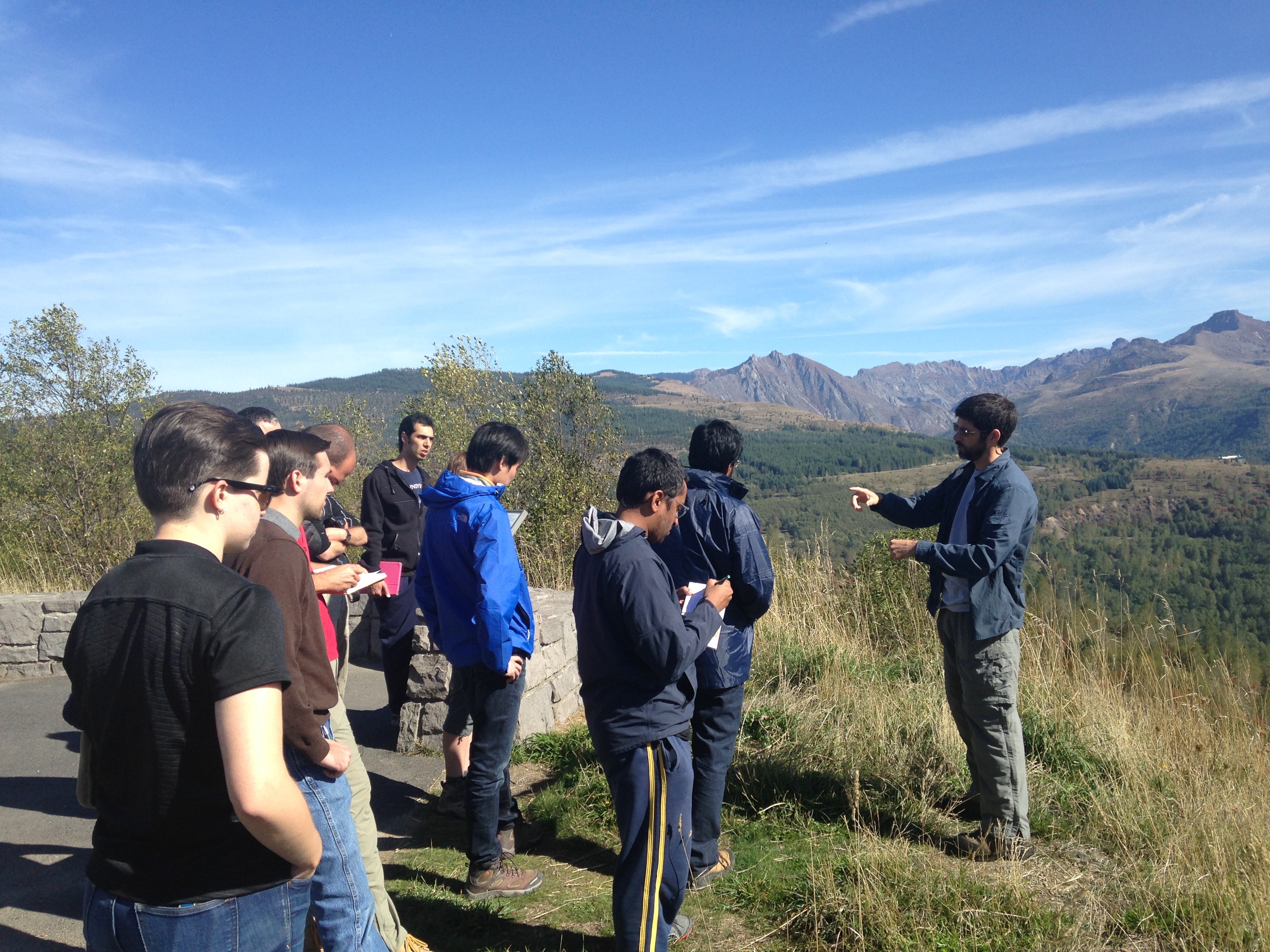
Helge lectures on Mt. Shasta and debris flows
After dinner, several trip members were feeling peaky, so I made some medicinal grade ginger honey lemon maple tea, which was said to have “quite a kick”, and to be “reviving” (kind euphemisms for how spicy it was). The official recipe is as follows, but may be adjusted to taste.
Water 1500 mL
Peeled ginger 150 g
Lemons 2
Honey 45 mL
Maple syrup 45 mL
Crush ginger and boil for 20 minutes. Squeeze lemons and strain into a jug. Add honey and syrup to your liking. (Personal notes: more ginger and longer boiling time results in a stronger, spicier brew.)
Nightly discussion featured vibrant political debate. Dr. Thomas Giachetti, who was Helge’s post-doc at Rice and is now a professor at the University of Oregon, joined us for dinner.
Oct 2nd: I awoke Friday morning to the dulcet tones of the smoke alarm wailing as the breakfast bacon burned. If you can’t handle thermodynamics, stay out of the kitchen! As we embarked, Sriparna noticed that every person in our car was from a different country (India, China, Iran, France, Brazil, USA), which I think is unique almost anywhere.
We hiked up Mount Lassen at Lassen Volcanic National Park. Lassen Peak is a dacitic dome, with pyroclastic dacite deposits containing phenocrysts and mafic enclaves, and dacitic pumice away from the peak. From the top, you can see Mount Shasta and the U shaped valleys carved out by glaciers in the last ice age.
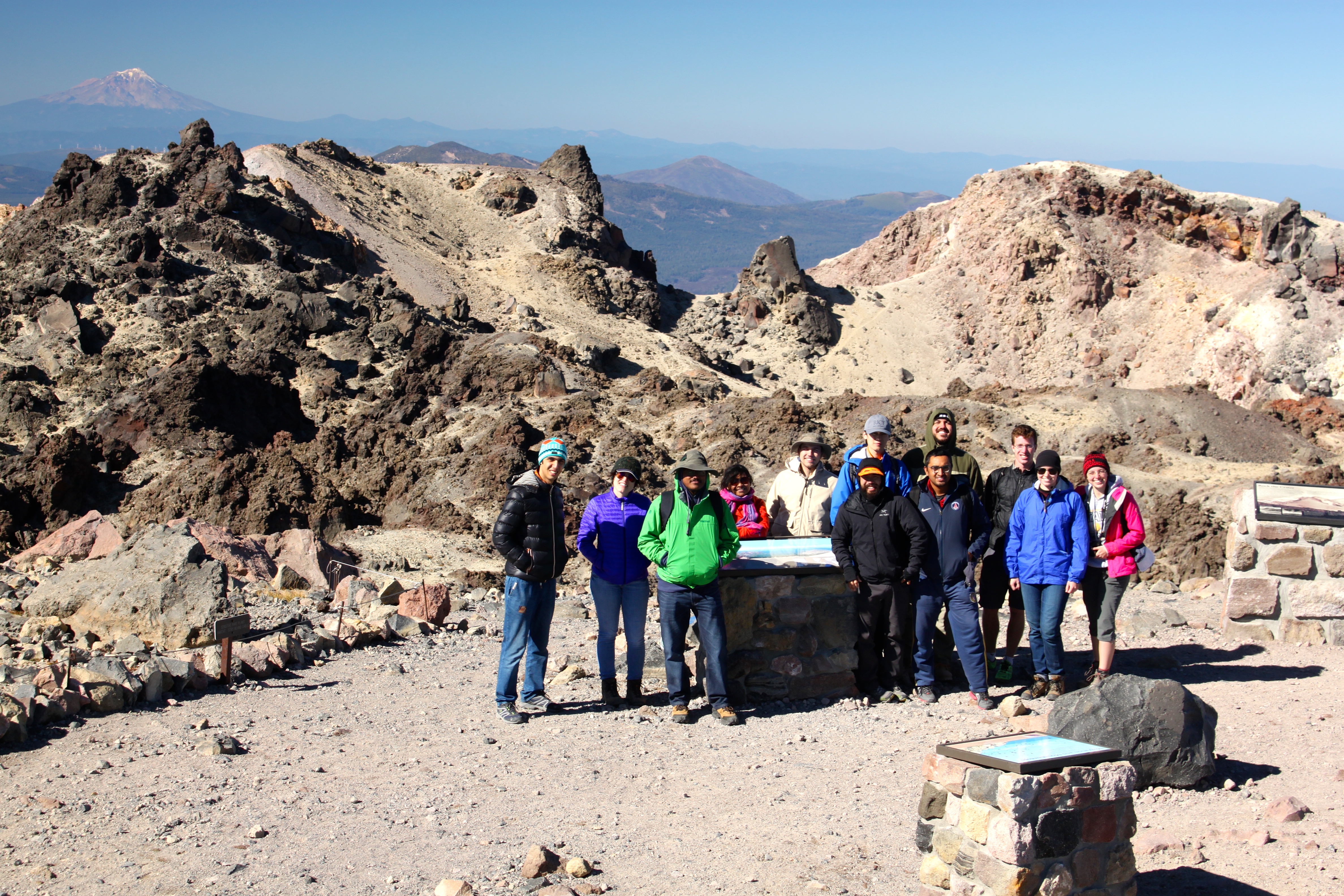
View from Lassen Peak with Mt. Shasta in the background. Photo credit Thomas Giachetti.

Andesitic enclave within dacitic matrix at Lassen Peak
We continued on to an a’a flow! I could hear the stratification of bubbles within the solidified flow as we trod over it, from the deep clunk of fragments of the dense inner core to the high-pitched glassy crunch of the sharp and vesicular upper crust. The flow had angular shards, round bubbly blobs, and solid dark fragments with visible feldspar phenocrysts.
At 8:15 pm we pulled the cars onto a side road on the way back to Mt. Shasta in the pitch dark to see the stars. The Milky Way was a full, bright arc directly above us, all the way across the sky. Satellites and shooting stars burned tiny white trails through the dark velvety firmament. I made a wish. It seemed impossible to take pictures of the sky, and we all decided it was best to experience the moment without needing to take it back home to show anyone else.
Oct 3rd: Our first stop Saturday was a basaltic pahoehoe and a’a lava flow, featuring a network of lava tubes. Flow direction was evident in the ropy pahoehoe sections by concentric surface flow features. Across the road was a scoria deposit; its clasts had smaller vesicles on the outside, smoothed from air fall, while their insides had larger bubbles where bubbles had enough time to coalesce.

Scoria airfall clast. Note the small vesicles on the outside (from airfall smoothing) and the larger ones inside (due to bubble consolidation).
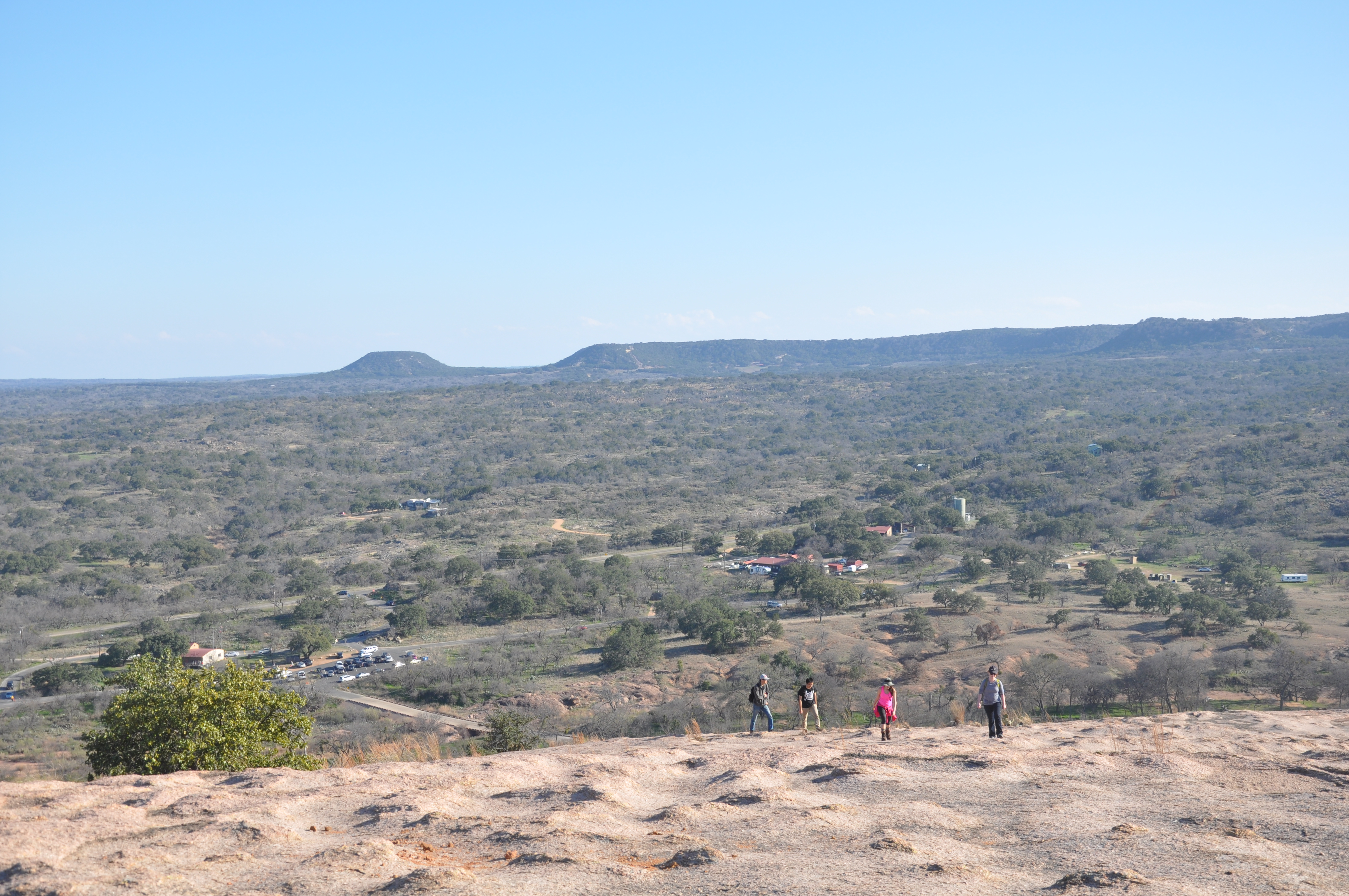
We ate lunch at one of the highest points in the Medicine Lake volcanic area, with a great view of Little Glass Mountain (which is not so little) and Mt. Shasta’s head in the clouds. LGM is an effusive (non-explosive volcanic) obsidian rhyolite flow from 1000-1100 years ago. It is pancake-shaped with steep sides and a small dome in the middle near the vent.

Little Glass Mountain . Mt. Shasta in the clouds in the background. Photo credit: Thomas Giachetti.
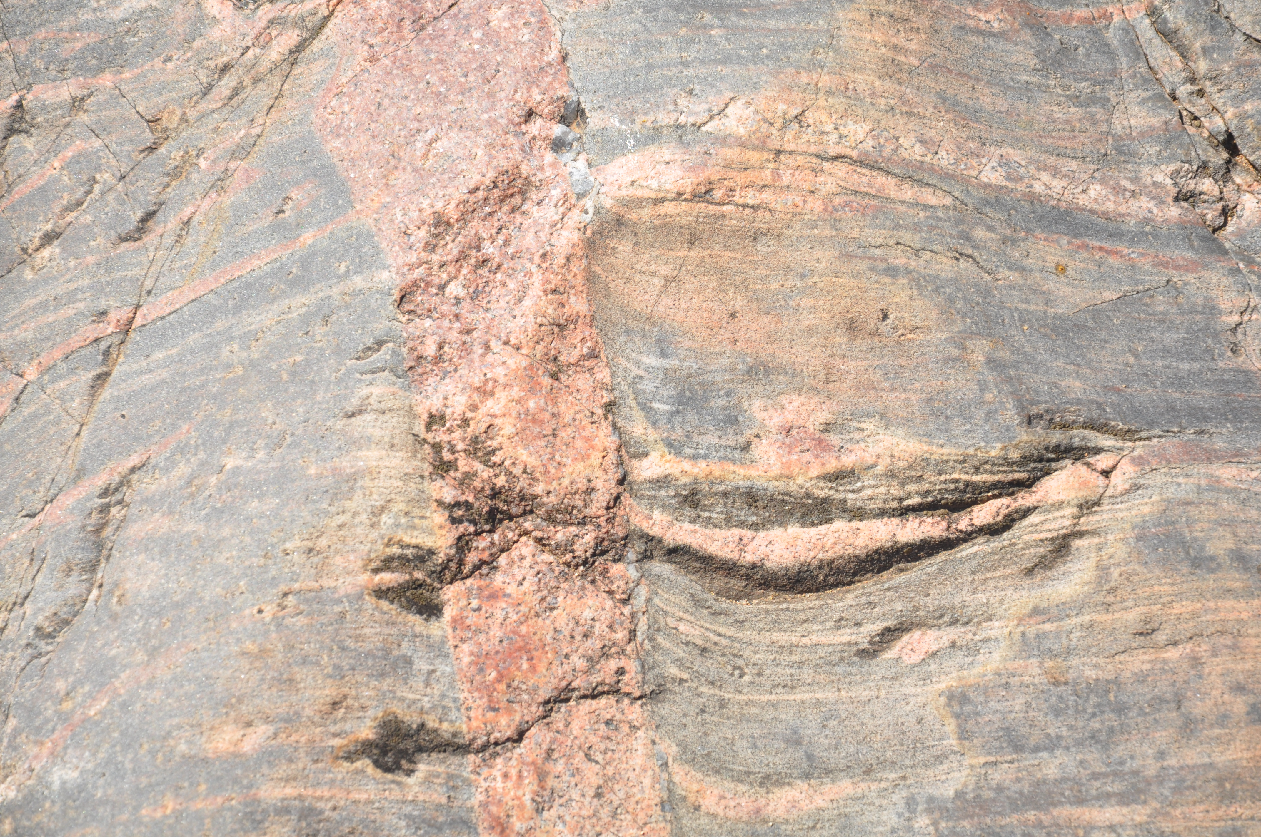
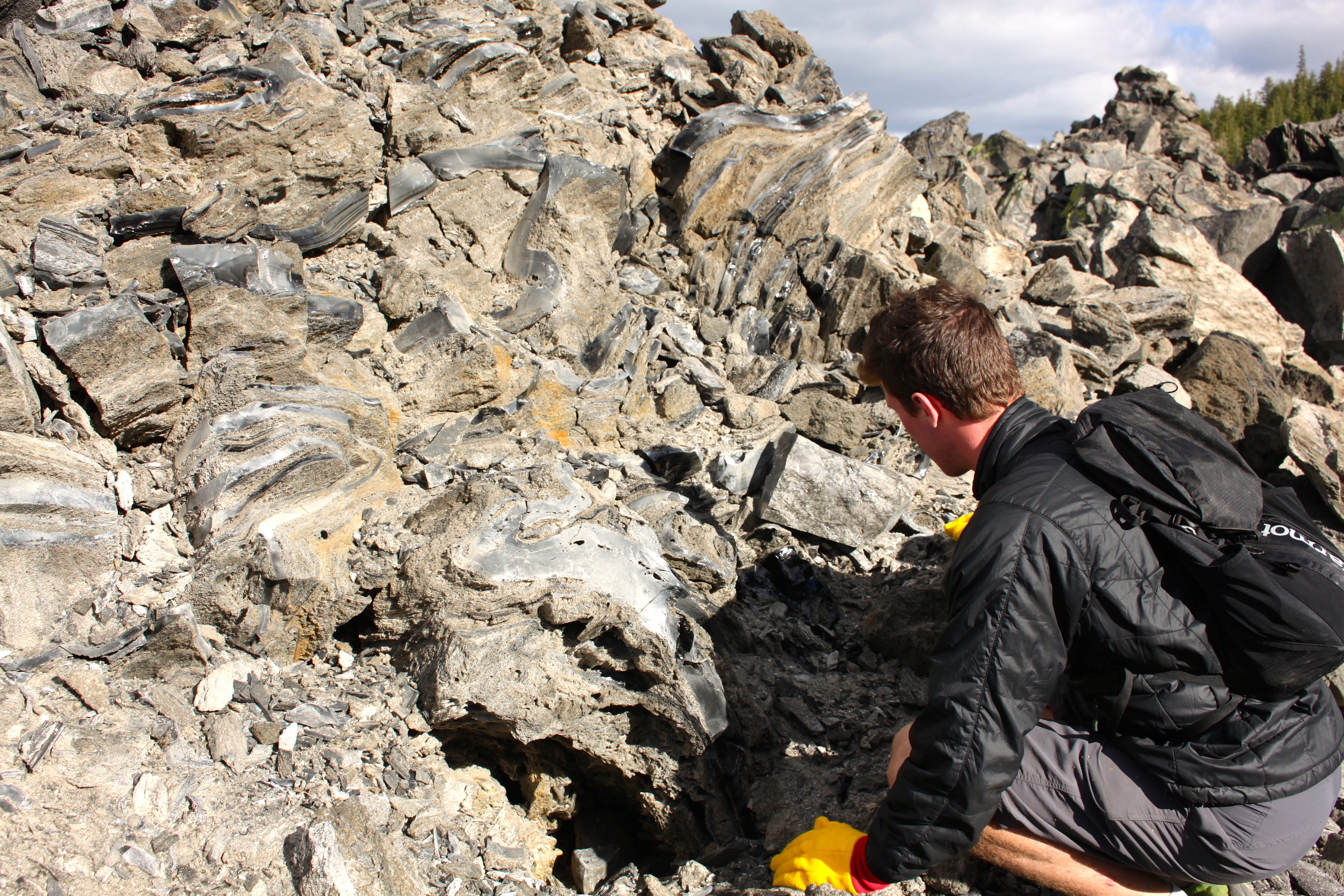
Our next stop was Big Glass Mountain, another obsidian dome featuring glossy black volcanic glass banded with reticulite (a frothy, lace-like obsidian glass) in complex folds and beautiful flows. The banded textures are thought to result from magma exsolving dissolved gases; during eruption the shearing motion and pressure causes concentration of the gas in some layers but not others, or, alternately, shearing causes volatile exsolution and concentration. It was impossible to take enough pictures. We found beautiful folds that looked almost like fabric, and red layers intermingled with black obsidian. We discussed whether the reddish colors are iron oxidation, sericite from plagioclase microlite alteration, or some other alteration product.

Exsolution bubbles and textures at Big Glass Mountain, CA. Photo credit: Thomas Giachetti.
My carmates were exceedingly kind about my eclectic music taste, with only minimal teasing about how ridiculously miscellaneous it is.
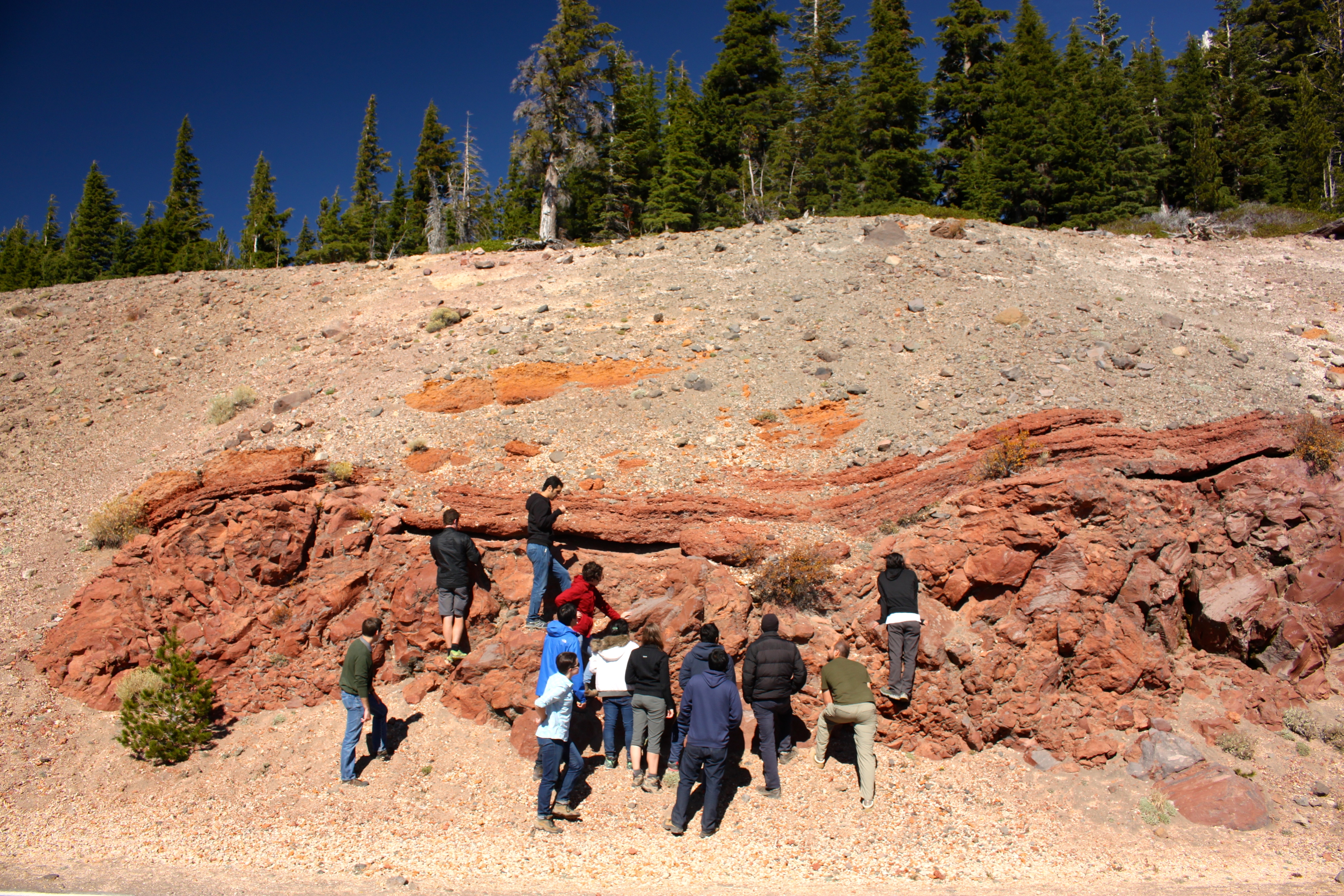
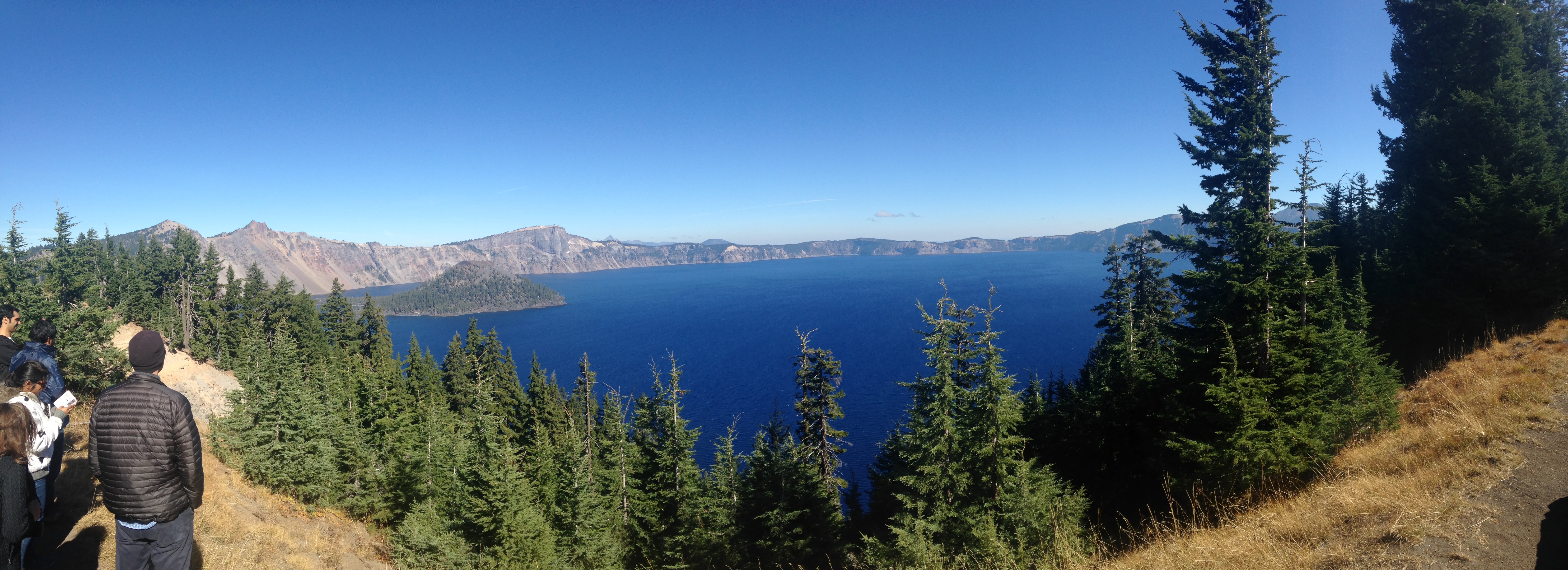
Oct 4th: Sunday morning we drove up to Portland via the magnificent volcanic Crater Lake and Mt. Mazama. The ash flow tuffs at the bottom of Mt. Mazama’s flanks are from the climactic eruption; their composition changes stratigraphically, indicating compositional changes of the magma chamber from which they erupted. This climactic event produced 40 times the eruptive volume of Mt. St. Helens. We estimated that the lake in the caldera could fit about 45 Rice campuses on its surface.
The layered flows on the cusp of the crater tell stories of the cataclysmic eruption. A red, weathered dacite lava flow on bottom is overlain by an orangey layered welded tuff flow, with a white pumice air fall deposit on top. Volcanic glass is not stable at atmosphere temperature and pressure, so it has begun to devitrify, crystallizing into spherulites over time.
Layered flow deposits on the rim of the Mazama caldera. Photo credit: Thomas Giachetti.
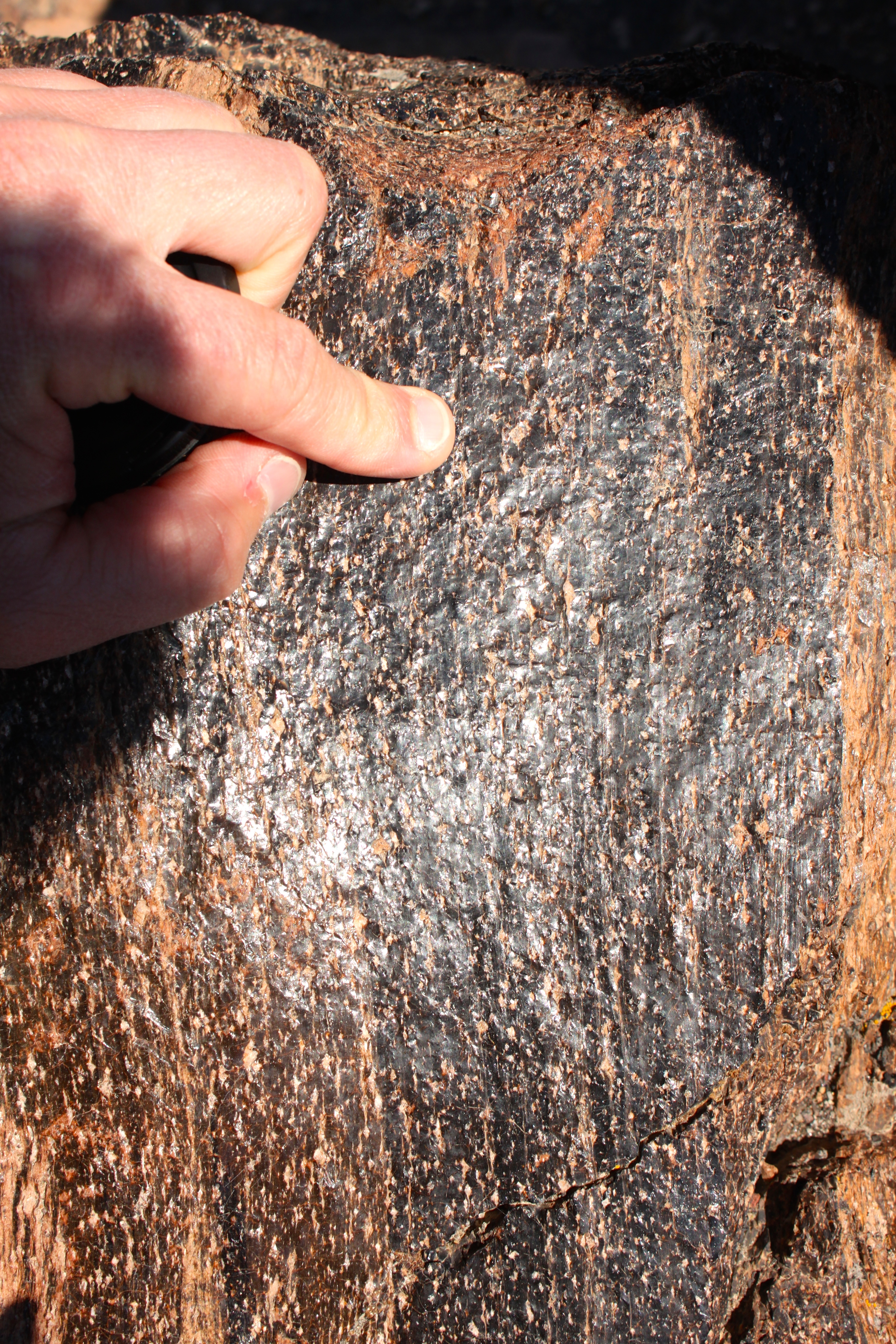
Volcanic glass devitrification (spherulites). Photo credit: Thomas Giachetti.
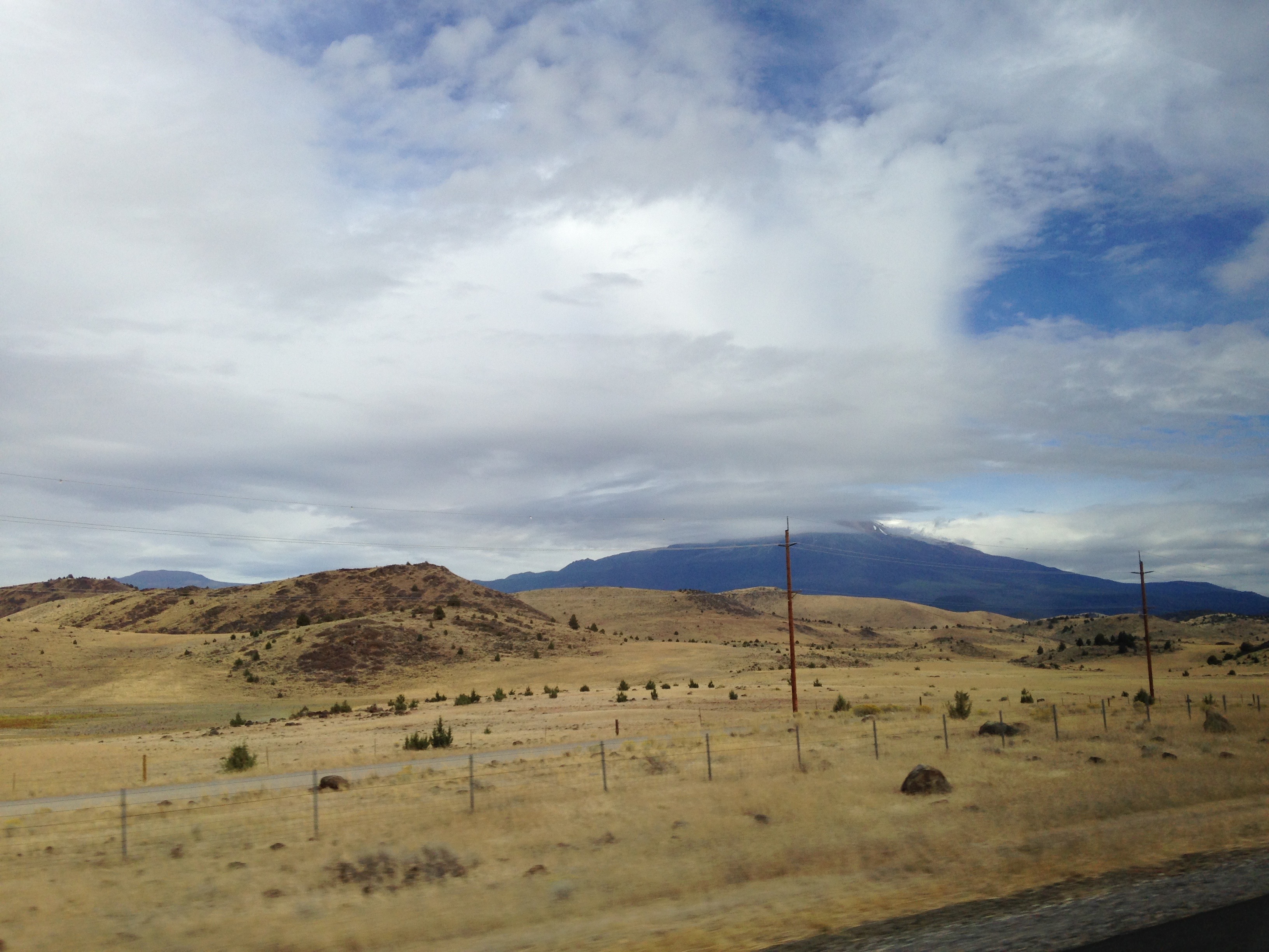
Today in the car, while sharing music, we learned that the word ‘zindagi’ means life in both Hindi (जिंदगी) and Persian (زندگی). Persia and India have previously shared a border and continue to share culture, which persists in the language. Further north we began to see the Columbia River Flood Basalts, thick and hilly due to erosion, and golden from the grain fields covering each surface.
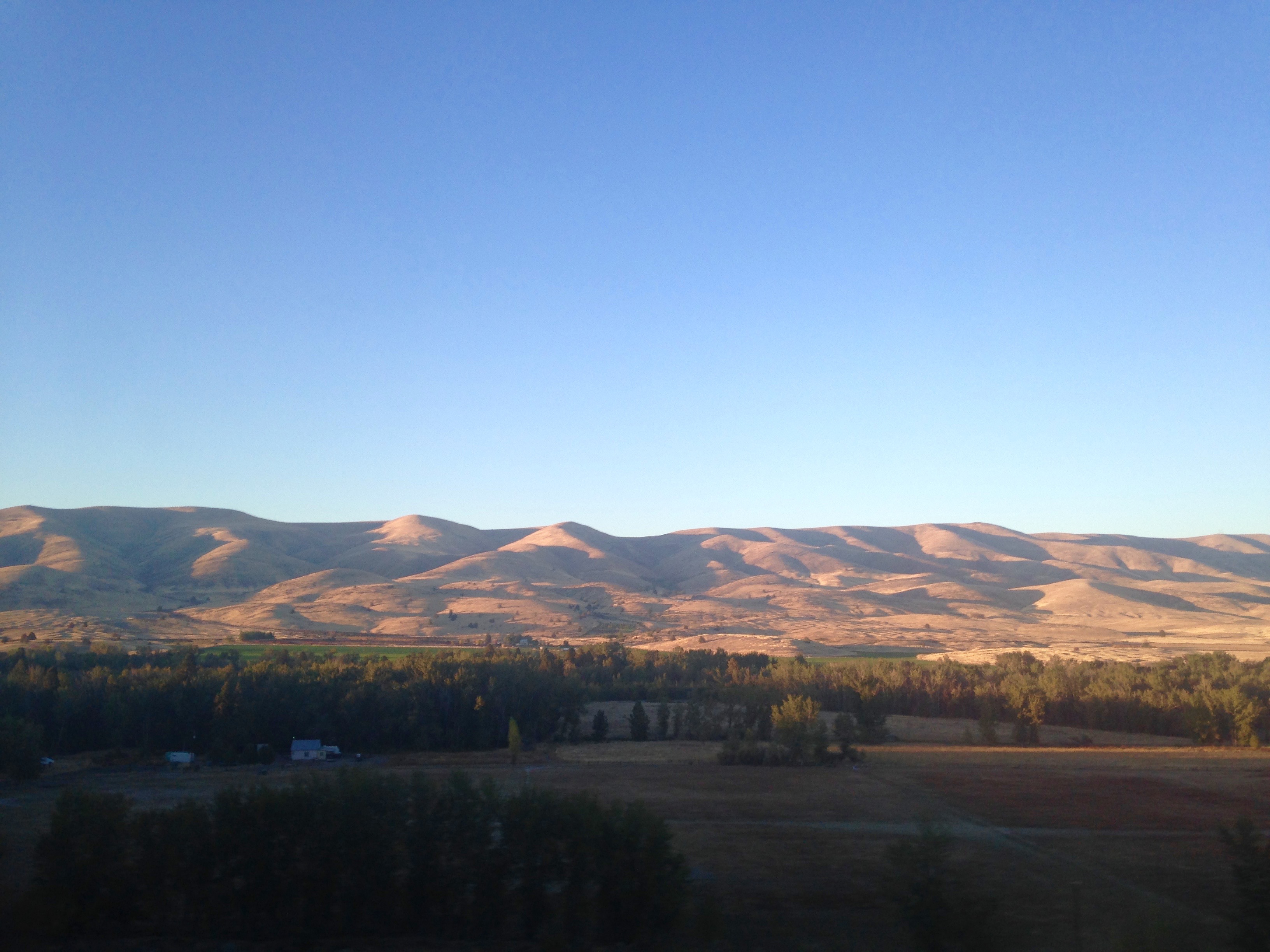
Columbia River Flood Basalts, eroded and with a splash of alpenglow.
Oct 5th: Monday we had breakfast on the road; Helge told us stories of growing up on a farm in Germany with his favorite dairy calf, Sputnik.
We had uncommonly clear weather for our visit to Mount St. Helens. Small rock falls in the crater released bright dust clouds visible from kilometers away. Dr. Mike Poland, geophysical researcher for the USGS and expert on remote deformation measurement, was our guide. Mt. St. Helens is a member of the Cascades, famous for its catastrophic 1980 eruption. A cryptodome of pressurized magma began to build, pushing up the rock above it. When the rock above became gravitationally unstable, it fell, depressurizing the magma and causing the eruption and pyroclastic surge. All was quiet until 2004-2008 when a spine of hot crystalline rock, called the “whale back,” emerged within the crater.
As Dr. Poland discussed the things we can and cannot explain about eruptions, I’m struck again by a recurring thought of how young geology is as a science. People have been observing natural phenomena for millennia, but really understanding what they mean is an art. Seeing eruptive phenomena in person clarifies processes that are otherwise obfuscated by time or preservation bias. One can piece together that hummocks downhill of Mt. Shasta are pieces of the edifice, but until you see Mt. St. Helens erupt and move material in the same way, you can only guess. Geologists have time working both for and against us; eons are preserved in the rock record, but we only have our own perceptions, experiences, and conceptual limitations to guide us.

Mt. St. Helens. Slight dust visible at the top of MSH from gravitationally unstable rockfall.
Our group in front of Mt. St. Helens with Dr. Mike Poland, who was kind enough to guide us. Photo credit: Thomas Giachetti.
I get the sense that losing volcanologists to volcanoes still stings. The way Mike and Helge reminisced about Dr. David Johnston, a geologist who died in the 1980 eruption, and Gerry Martin, the radio operator on the ridge behind him, there was a persistence of loss, and a solemnity underlying the oft-retold stories. Volcanology is scientifically fascinating, which draws us to it, but its dangers must be taken seriously. Sometimes curiosity comes at a price.
Thanks so much for a fantastic day, Mike!
Monday night we ate at Beaches, a beach-themed (not Bette Midler themed?!) restaurant on the water in Portland. Our waitress was sweet and bubbly. At the end of our meal, she gave us saltwater taffy, and handed us packages of stick-on mustaches, telling us to get crazy and have fun. We took a group photo wearing them, and I think we all looked very distinguished.
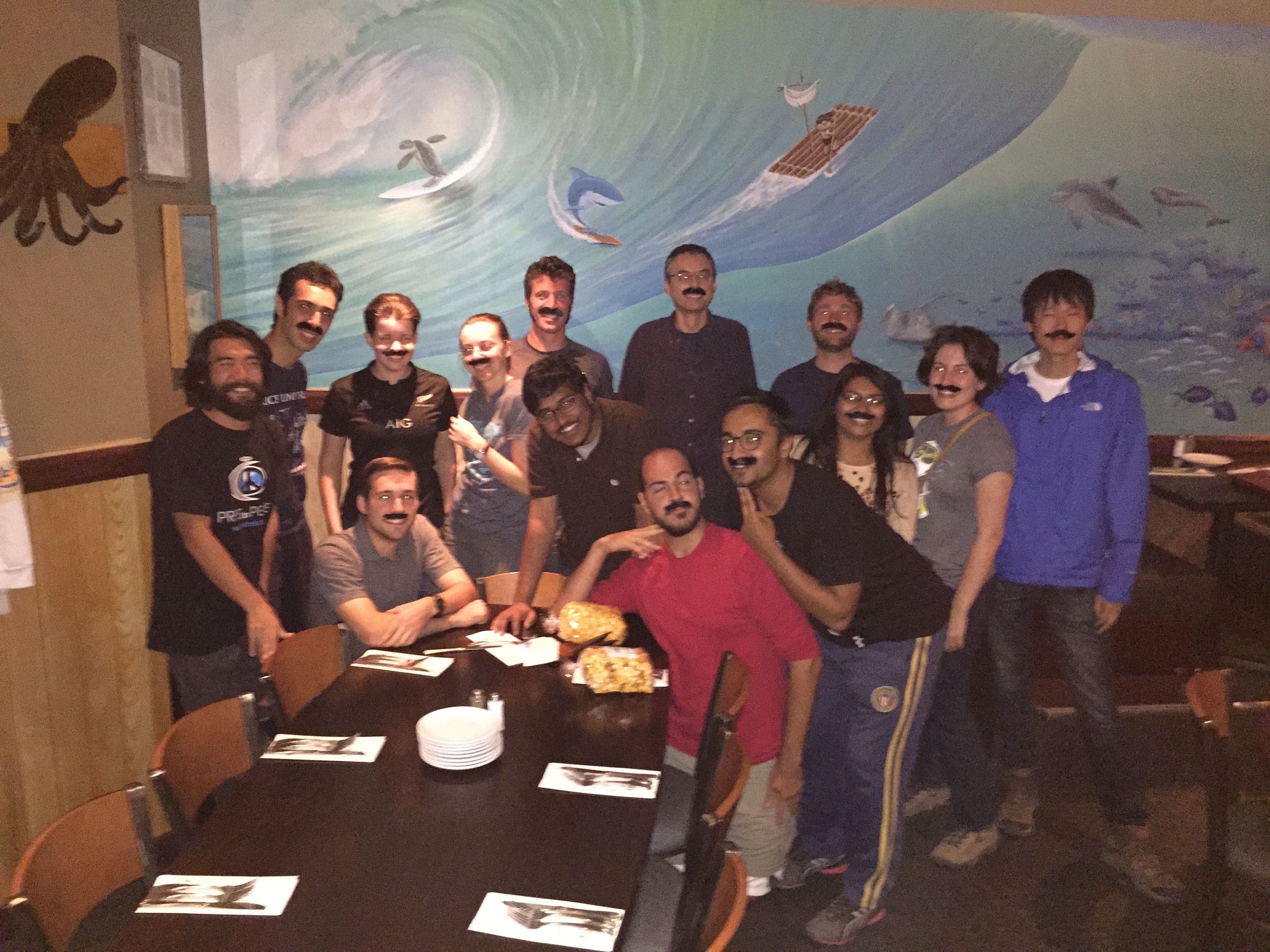
Distinguished and also possessed. You CAN have it all! Photo credit: Julin Zhang
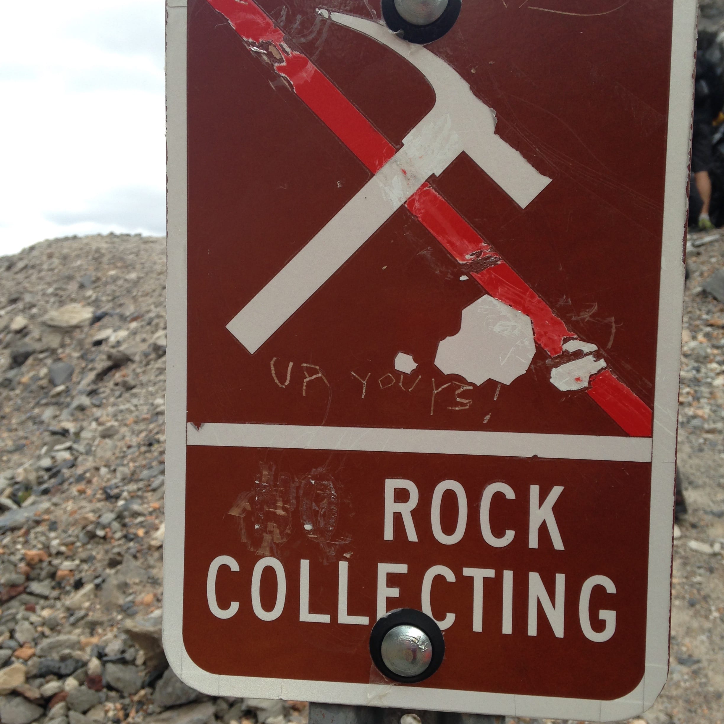
Oct 6th: Tuesday morning we left the house at 4 am to get to the airport. When we all arrived home and unpacked, the TSA had searched each of our bags. I guess there’s something suspicious about carrying home pounds and pounds of rocks as souvenirs? This trip greatly expanded my understanding of volcanic processes, and was a wonderful experience overall.
-

- Volcanic layers from the shores of Lake Shastina with geologists for scale
-

- Pumice from the Glass Mountain area. Color differences are due to temperatures of cooling.

-

- Red Mazama dacite with boudin-like mixing textures

-

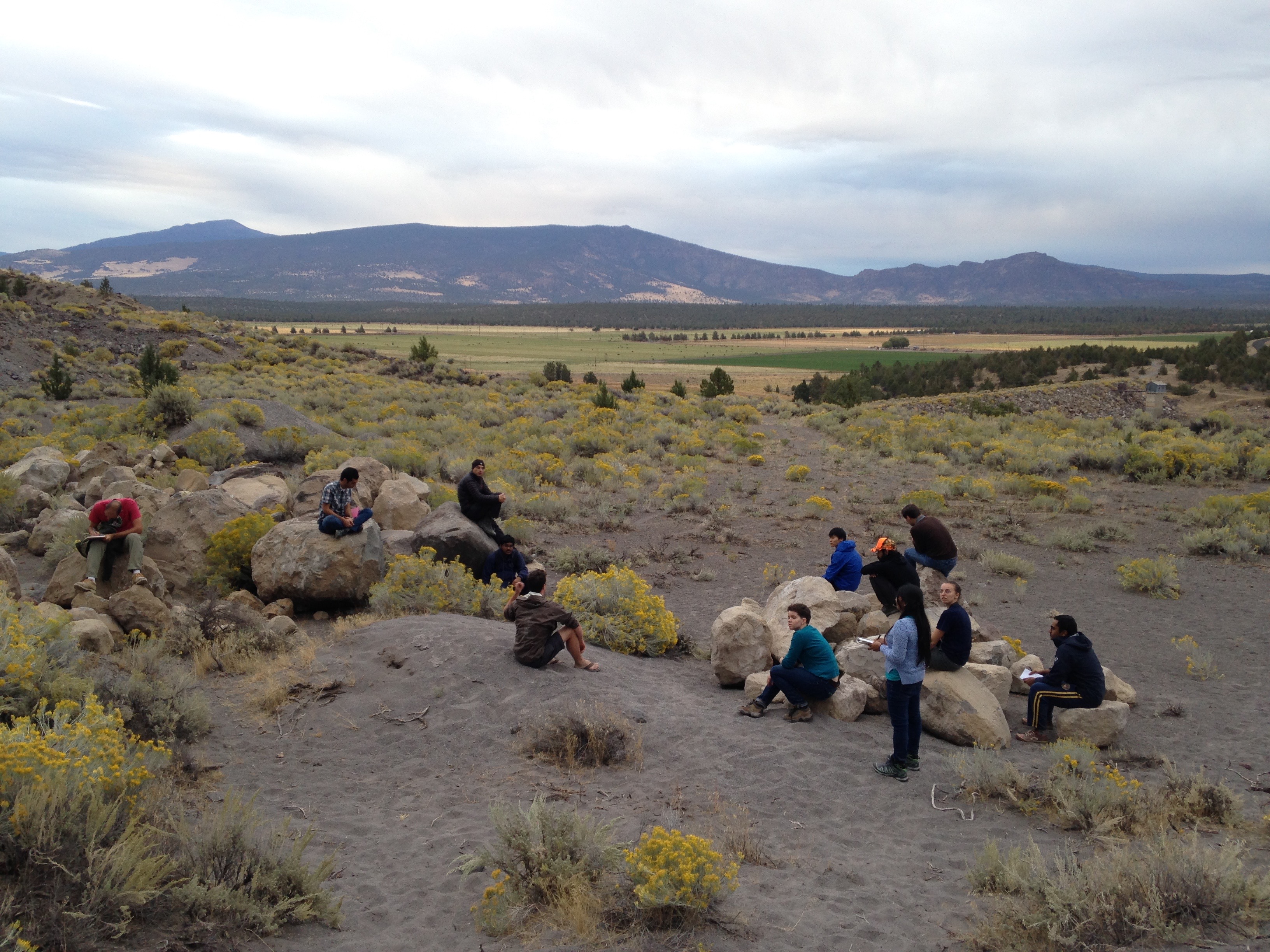
- Geologists have some strong opinions when it comes to sampling
-

- Crater Lake
-

- Group in front of Crater Lake. Photo credit: Thomas Giachetti.

-

- What a coordinated group. Photo credit: Thomas Giachetti.

-

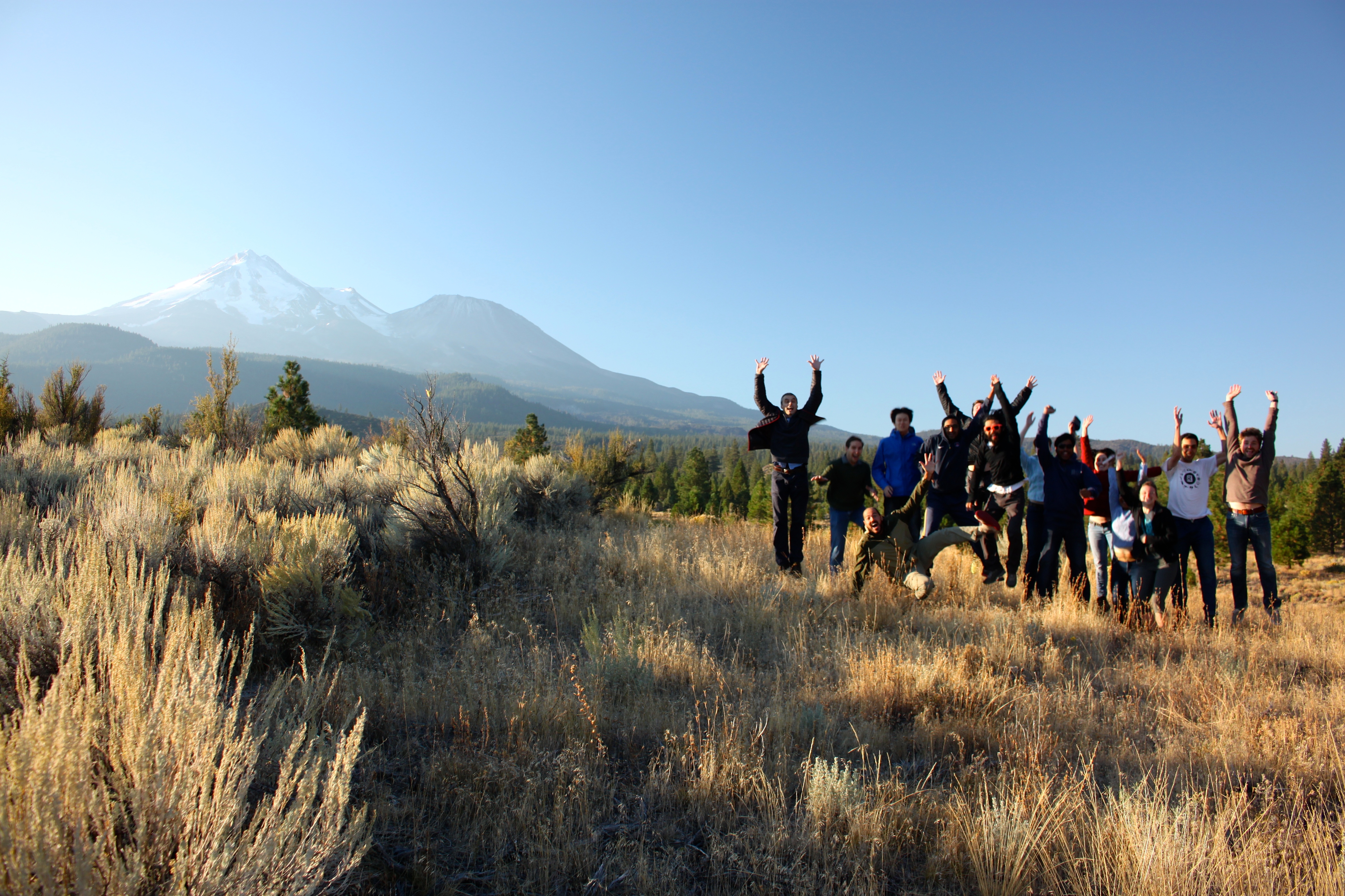
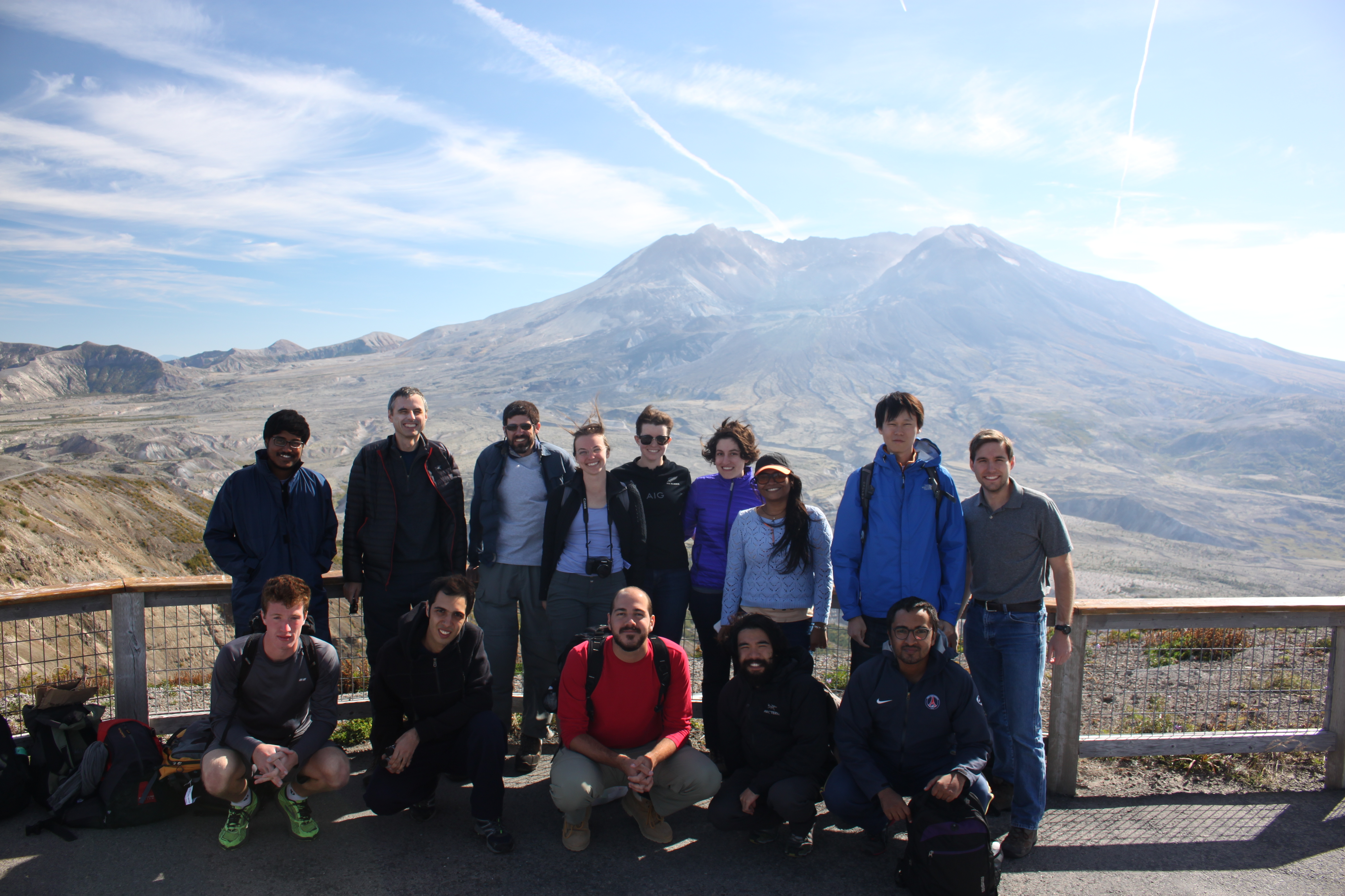
- Group in front of Mt. Shasta. Photo credit Thomas Giachetti.

-

- We love volcanoes! Photo credit Thomas Giachetti.